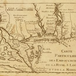
This detail of Mobile Bay and environs is from a map of the French territory of La Lousiane created around 1718 by French cartographer Guillaume de L'Isle. The detail shows the location of what are now Dauphin Island and Bay Minette.
Map of French Louisiana

Courtesy of the Library of Congress, Geography and Map Division


