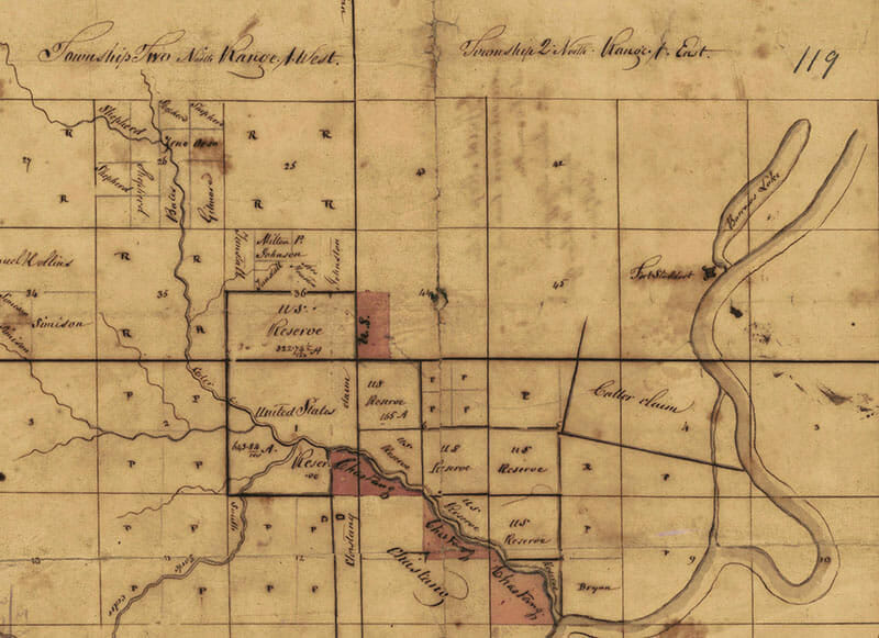
This map from the 1810s documents ownership of various land plats in the St. Stephens District in what was then the Mississippi Territory. Fort Stoddert is shown in the top right section where the Tombigbee River meets Barrows Lake.
St. Stephens District Map

Photo courtesy of the Alabama Department of Archives and History
Appears In


