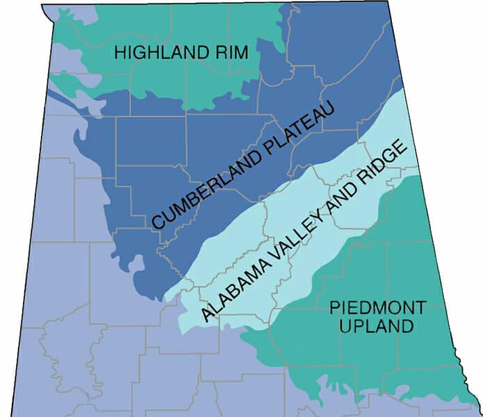
This map shows the location of the Piedmont Upland Physiographic Section in east-central Alabama. It is largely a plateau that slopes gently downward toward its southern border. It encompasses most of the highest peaks in the state, including Mt. Cheaha and was the center of gold mining in the state during the late nineteenth and early twentieth centuries.
Location of Piedmont Upland Section
Courtesy of the University of Alabama Cartographic Laboratory
Appears In
