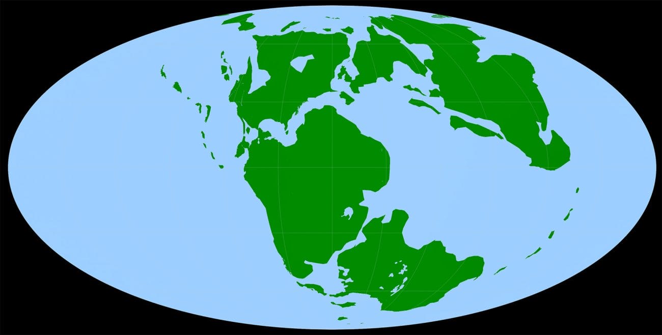
This diagram shows the location of the continents roughly 170 million years ago, during the Jurassic Period. North America was then part of Laurasia, shown at top center. The area that would become the southeastern United States was under water.

This diagram shows the location of the continents roughly 170 million years ago, during the Jurassic Period. North America was then part of Laurasia, shown at top center. The area that would become the southeastern United States was under water.

