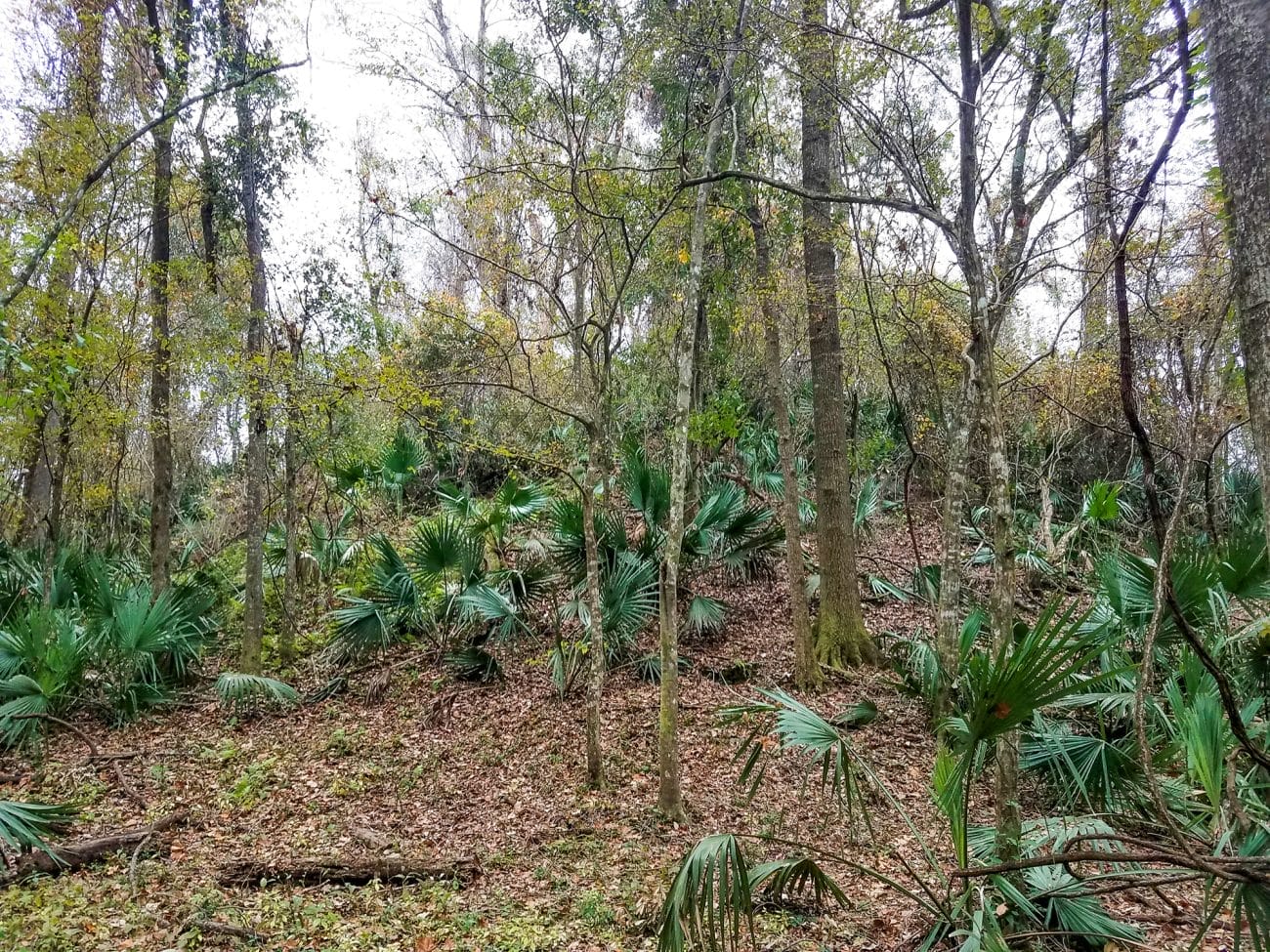
Mobile-Tensaw Delta
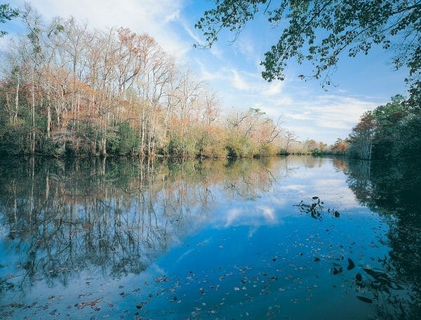 Mobile-Tensaw Delta
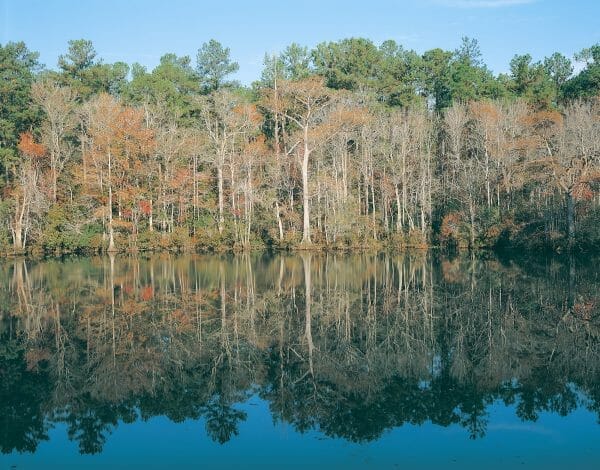
Directly north of Alabama’s Mobile Bay, within a broad river valley that leads northward to the confluence of the Tombigbee and Alabama Rivers, lies a vast region of wetlands known by various names, including the Mobile-Tensaw delta, the Mobile delta, or simply the delta. This region is home to some of the most diverse wildlife in Alabama, and indeed in the entire United States. The delta played a major role in the exploration and settlement of Alabama and is currently at the center of a clash between conservationists on the one side and developers and business interests on the other. The delta is Alabama’s principal remaining natural terrain and has been designated a National Natural Landmark.
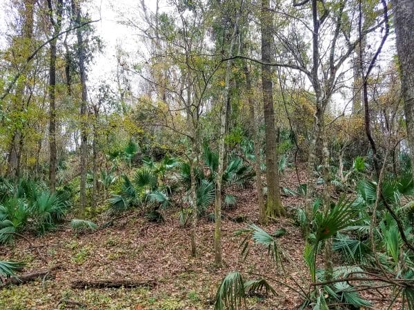
The Mobile-Tensaw delta includes sections of Baldwin, Clarke, Mobile, Monroe, and Washington Counties in southwestern Alabama. The region features numerous interconnected stream systems, floodplains, swamps, bayous, lakes, and forests, and it is home to an abundance of species of flora and fauna, including 500 plants, 300 birds, 126 fishes, 46 mammals, 69 reptiles, and 30 amphibians. The delta is about 45 miles long, ranges from six to 16 miles wide, and encompasses about 300 square miles. Ecosystems vary among 20,000 acres of open water; 10,000 acres of marsh; more than 70,000 acres of swamp; and more than 85,000 acres of bottomland forest. Through restoration and conservation efforts by a combination of federal, state, and private citizens, 185,500 contiguous acres of federal and state property are now preserved in the delta.
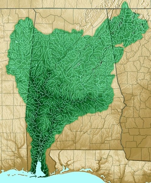 Mobile-Tensaw Delta Watershed
The valley in which the delta now lies began forming several million years ago when separate inland streams joined together in their southward flow across land formerly covered by the Gulf of Mexico. About 18,000 years ago, during the last major ice age, the water line in the Gulf of Mexico probably was about 400 feet lower than it is at present, and Alabama’s coastline was about 60 miles south of its present location. Thus at that time streams of the delta valley extended far beyond their present southern termination at the head of Mobile Bay.
As global temperatures began to rise, the glacial age slowly came to an end, and the melting of glaciers caused worldwide sea levels to rise. Gulf waters now cover the lower courses of ancient streams as well as their valleys, floodplains, and associated ecosystems (including any areas inhabited by prehistoric peoples). Present-day Mobile Bay is a drowned section of an ancient river valley. Inundation of the area probably began about 5,000 years ago and reached present-day levels (although with some fluctuation) slightly more than 2,000 years ago. The water level in the Gulf of Mexico continues to rise at a rate of about two millimeters per year, continuing to drown the southernmost areas of the delta.
 Airboat on the Mobile River
Rivers in the delta region include the Tombigbee, Alabama, Mobile, Middle, Tensaw, Apalachee, Raft, Spanish, and Blakeley. Of these, the Tombigbee, Alabama, and Mobile are important transportation routes. The Mobile River is the southernmost river channel of the Tennessee-Tombigbee Waterway. Numerous small streams interconnect with delta rivers, and their courses divide, converge, and constantly change, resulting in continual erosion and redistribution of sediment deposited by former streams. The delta also receives drainage from adjacent uplands.
Many delta streams develop meander channels (channels that wander in sweeping curves), resulting in erosional widening of the delta valley. These streams constantly shift positions, and numerous sections of abandoned channels have filled with sediment or become isolated lakes. Those that formed in the extreme bends of former stream channels are called oxbow lakes. A network of abandoned river channels provides alternative drainage routes during flood stages of primary streams. Most past and present stream channels in the delta have developed “levees” (narrow ridges of sediment along their banks), which tend to prevent water from overflowing stream banks during moderate increases in stream flow. During these periodic increases in flow (usually after heavy spring rains), streams overtop these natural levees and cover large areas of the delta called floodbasins. As water levels subside, flood-basin waters return to the adjacent flowing streams.
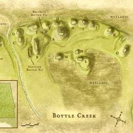
Evidence of human habitation in the delta dates back some 5,000 years. The area supplied these early inhabitants with abundant fish, shellfish, game animals, plant material, and clay and mineral resources. About 700 years ago Indians of the Mississippian period built earthen mounds adjacent to Bottle Creek and the Tensaw River. As the Mississippian tradition declined, other peoples moved into the area, including the Alabamas, the Mobilians, the Taensas, the Creeks, and the Choctaws. The Tensaw River is named for the Taensa, and the Alabama and Mobile Rivers are named for those groups.
Spanish forces passed through the area in the mid-sixteenth century, and in 1558 Spanish explorer Guido de las Bazares recorded visiting the high red bluffs of the eastern shore of Mobile Bay and named the water way the Bahia Filipina (Phillips’ Bay) in honor of Spain’s King Phillip II. In 1702, a French expedition led by Pierre Le Moyne d’Iberville established Fort Louis de la Louisiane and the initial settlement called Mobile (now known as Twenty-Seven-Mile Bluff), among the Mobilian Indians, who provided food and other vital assistance. The fort and town were upstream from present-day Mobile in an area of the wetlands that often flooded, and in 1711 d’Iberville’s brother Jean-Baptiste Le Moyne de Bienville oversaw the relocation of the town downriver to its present site. In 1813 the delta settlement of Fort Mims, located in present-day Baldwin County, was the site of an attack by Creek Indians in which more than 250 settlers, militiamen, and slaves were massacred. From April 2–9, 1865, the last major battle of the Civil War took place at the fortified town of Blakeley (often known as Fort Blakeley) on the delta’s southeastern rim. In the mid-1920s, a public roadway, now called the Causeway, was extended east-west across the lower part of the delta to link the western and eastern shores of Mobile Bay. U.S. Interstate Highway 65 and a railway line now cross the delta, and U.S. Interstate Highway 10 now crosses the northern part of Mobile Bay.
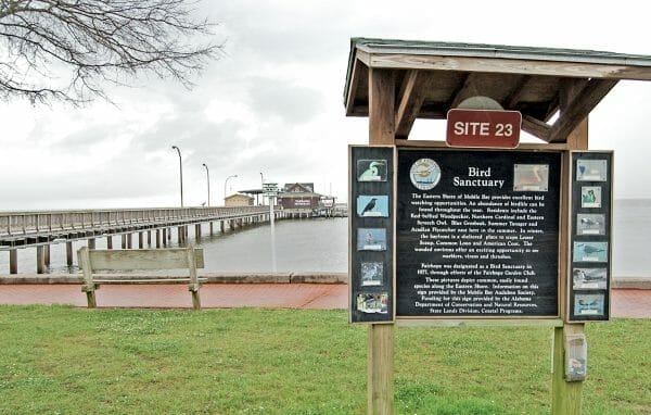 Alabama Coastal Birding Trail Sign
The delta long has been a prime agricultural location as well as a source of fish, game, timber, lumber, pulpwood, sand, clay, gravel, oil, and gas. Primary uses of the delta today are recreation and education, including boating, fishing, hunting, wildlife observation, and study of wetland ecology. The delta is home to many of the stops on the Alabama Coastal Birding Trail.
Conservationists presently are concerned about the effects of upstream dams on stream flow and sediment loads, stream pollution, decline in fish populations, effects of invasive alien plant and animal species, and stream-channel dredging. Some restoration advocates propose restoring ecological conditions in the lower delta to their former status (pre-Causeway conditions) by improving tidal flow between the lower delta and Mobile Bay. There are also concerns that continued commercial development of the U.S. 90 Causeway will result in diminished scenic and ecological qualities in the lower delta.
Further Reading
- Curren, Cailub B. 1976. “Prehistoric and Early Historic Occupation of the Mobile Bay and Mobile Delta Area of Alabama with an Emphasis on Subsistence.” Journal of Alabama Archaeology 22(1): 61-84.
- McCreadie, J. W., and P. H. Adler. Paradox of the Delta: Protecting the Biodiversity We Do Not Yet Understand. Mobile: Alabama Center for Estuarine Studies, 2002. http://www.southalabama.edu/aces/2004Reports/Rd3McCreadiefinalweb.pdf
- Smith, W. Everett. Geomorphology of the Mobile Delta. Geological Survey of Alabama Bulletin 132. 1988.
- ———. A Field Guide to Mobile Delta Geomorphology. Geological Survey of Alabama Information Series 80. 1997. http://www.gsa.state.al.us/gsa/pubs/allpubs.asp
- Walker, Sue, and Dennis Holt. In the Realm of Rivers: Alabama’s Mobile-Tensaw Delta. Montgomery, Ala.: New South Books, 2005.
